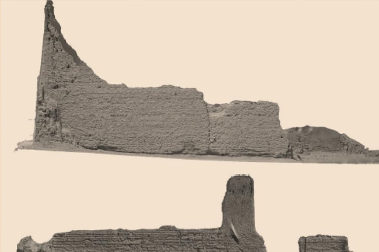
We provide scientific and visual documentation services for sites Our team uses the latest technologies and specialized programs, such as the EMlid surveying device, drone aerial photography, 3 D documentation, laser scanning, and the Reality Capture program We conduct this documentation before, during, and after the fieldwork to ensure a comprehensive documentation of the sites and their contents